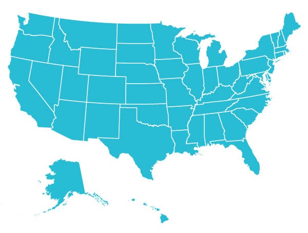
Giant USA Map
About This Primary Resource
A map of the United States of America featuring the borders for each State. It is made up of 16 A4 pages which can be printed out and put together to form 1 giant image. It’s ideal to use as part of a classroom display.
Resource Download Options
Related Primary Resources
Popular Teaching Resources
Stay Up To Date
Sign up for our newsletter and we’ll let you know when we create new early years resources.

